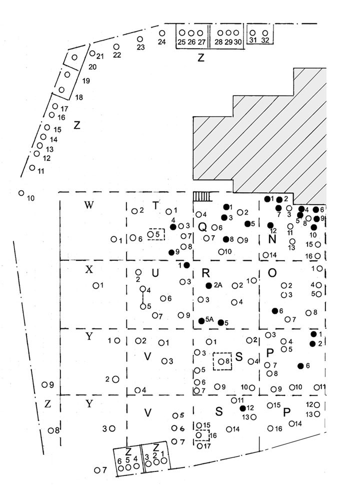
Kirkyard Map (Left)

The diagram below is a map of the left side of Mearns Kirkyard. The map has been split into clearly marked sections, simply click on a section to be taken to a list of monuments which reside in that area. When the Results are displayed you will be able to sort them by forename, surname, date of death, age and monument number. You will also be able to view all details of any monument in the list.

You can click here to view an enlarged right hand side of the map or click here to view the whole map You can also use the text links below the diagram to select a monument section.

Full Kirkyard Map

| | | | | | | | | | | | | | | | | | | | | | | | | |

View a list of monuments in area Z View a list of monuments in area Interior View a list of monuments in area W View a list of monuments in area T View a list of monuments in area Q View a list of monuments in area N View a list of monuments in area X View a list of monuments in area U View a list of monuments in area R View a list of monuments in area O View a list of monuments in area Y View a list of monuments in area V View a list of monuments in area S View a list of monuments in area P View a list of monuments in area Z View a list of monuments in area Y View a list of monuments in area V View a list of monuments in area S View a list of monuments in area P View a list of monuments in area Z